Geological reconnaissance
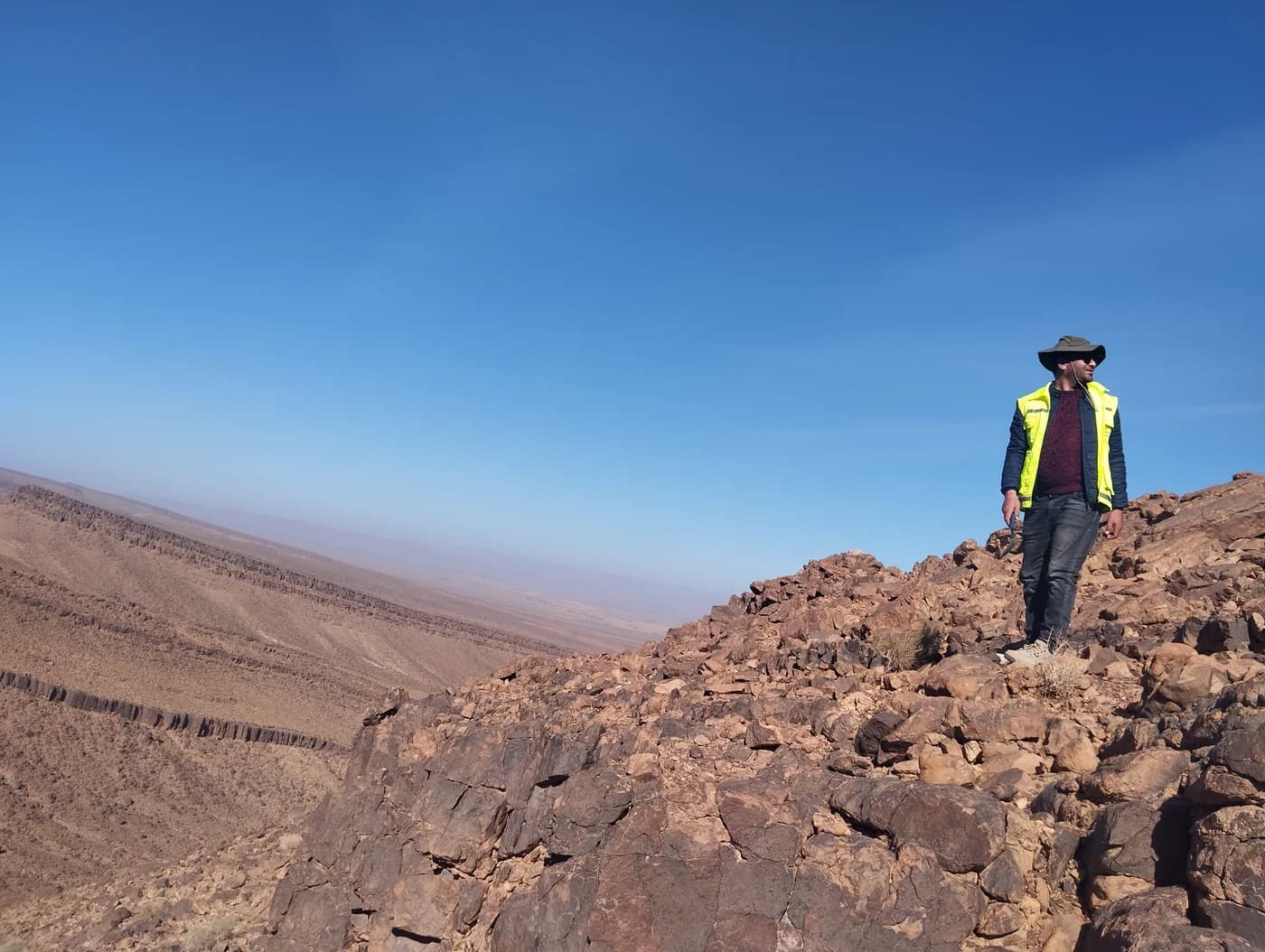
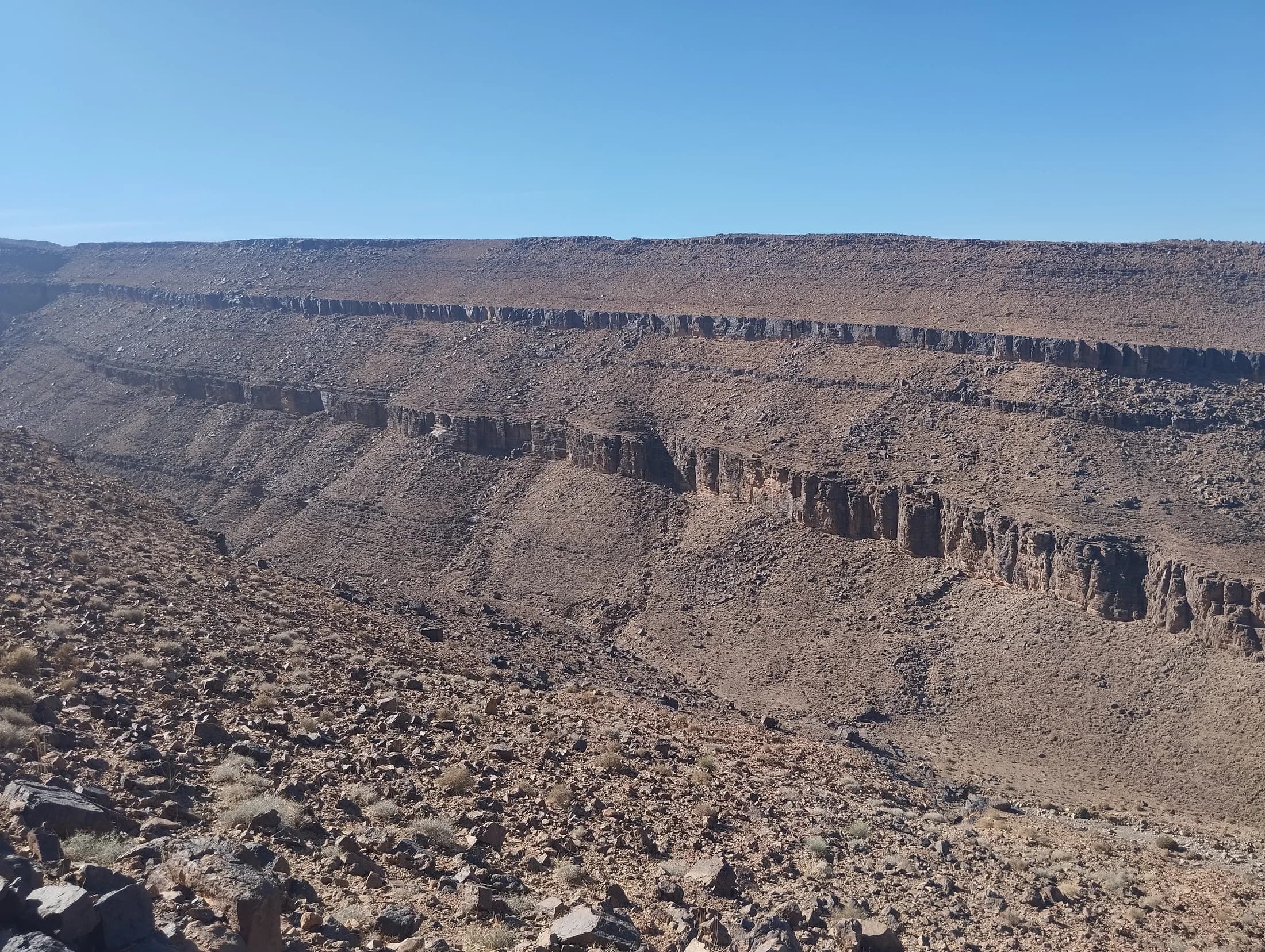
Geological surveys and outcrop observations document the formations encountered.
Field assignments · GEOANALYSIS
From geological surveys to water sampling, GEOANALYSIS supports projects from field observation through analysis.
Selected work
A selection illustrated with photographs from the firm’s field archive.
Geological surveys and outcrop observations document the formations encountered.
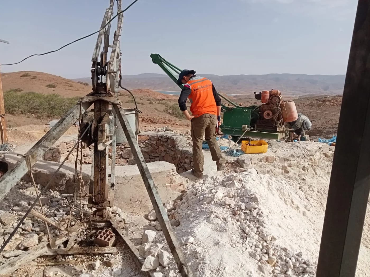
Drill planning and follow-up as part of field reconnaissance work.
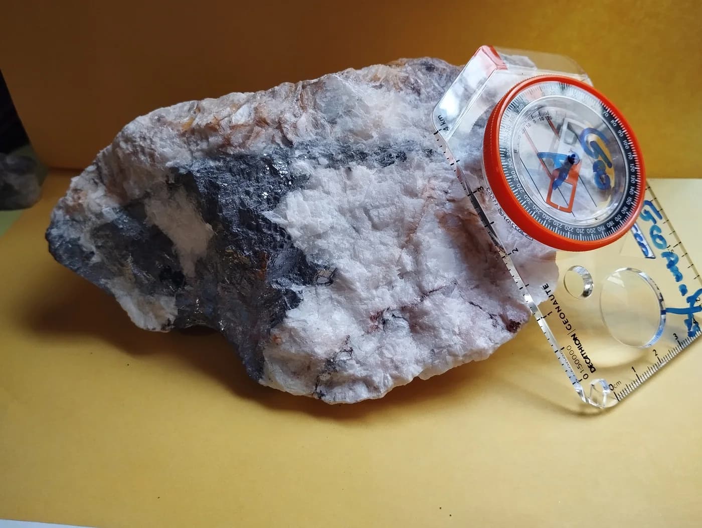
Rock samples documented with field references to support geological observations.
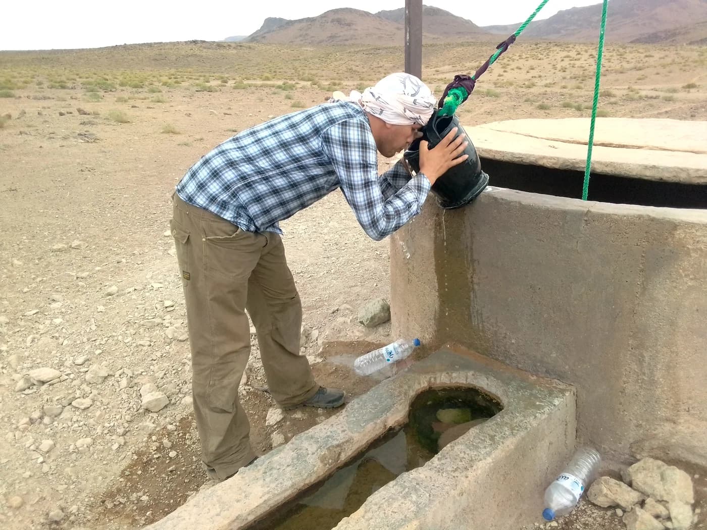
Water collection and in-situ analysis for hydrological and hydrogeological studies.
From fieldwork to deliverables
Assignments combine reconnaissance, measurements and mapped or written outputs.
Geological mapping and field reconnaissance.
Drilling, sampling and water collection.
Thematic maps, reports and summaries.
Start a project
Share your context. We will provide an initial technical assessment, a proposed method and a budget outline.