CONSULTANCY · MARRAKECH, MOROCCO
Understand the ground. Inform the project.
Geology, mining, water resources, environment and geospatial information: GEOANALYSIS supports field assignments and studies, from analysis to mapping.
Areas of work
Five areas, from fieldwork to analysis.
Assignments shaped around each project, from first observations to specialist studies and mapped deliverables.
- 01
Geology
Studies and fieldwork that document a project’s geological setting.
- Exploration and geological studies
- Geological mapping and surveys
- Reconnaissance and sampling
- Drilling planning and supervision
- 02
Mining
Support for mining projects, from early assessment to operational and administrative work.
- Mining asset administration and site identification
- Reserve estimates and feasibility studies
- Consulting and operational support
- Support with mining permits and licences
- 03
Hydrology and hydrogeology
Studies of water resources and analysis of hydrological and hydraulic conditions.
- Hydrological and hydrogeological studies
- Hydrogeophysical studies
- In-situ water sampling and analysis
- Hydraulic simulation and flood-zone delineation
- 04
Environment
Environmental assessment and protection for mining and quarry projects.
- Environmental impact studies
- Environmental protection solutions
- Site-planning studies
- Administrative support for temporary occupation
- 05
GIS and remote sensing
Geospatial information for analysis, mapping and clear communication of results.
- Thematic, mining, geophysical and hydrological maps
- Literature reports and syntheses
- Geographic information systems training
- Remote-sensing training
A tailored approach
From fieldwork to deliverables
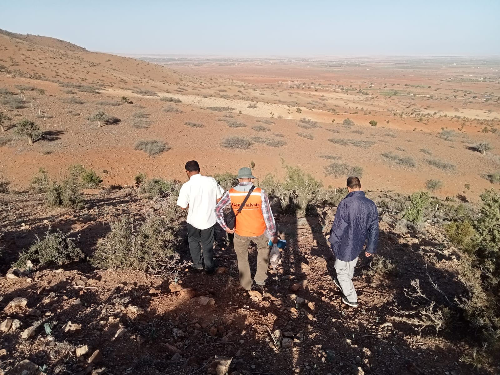
Depending on project needs, assignments can combine field observations and surveys with specialist studies, then maps, analyses and technical syntheses.
- 01 / Fieldwork
Observe and collect
Reconnaissance, geological surveys, mapping, sampling and drilling supervision.
- 02 / Studies
Assess the context
Geological, hydrological or environmental studies, with hydraulic simulations where relevant.
- 03 / Reporting
Structure the findings
Thematic maps, literature reports and technical syntheses.